

DriveTestRoutes
Riverhead, New York DMV Driving Test Routes
Riverhead, New York DMV Driving Test Routes
Couldn't load pickup availability
Riverhead, New York DMV Driving Test GPS Mock Routes
Location: 165 Columbus Ave, Riverhead New York, 11901
Directions: From LIE East, take Exit 73 to Route 58 for 1-1.5 miles, turn right on Pulaski St past Mobil station, then left on Columbus Ave to Stotsky Park parking lot; from Route 58 West, turn left on Pulaski St and follow same final directions to park along Stotsky Park lot facing Pulaski St.
Website: https://dmv.ny.gov/
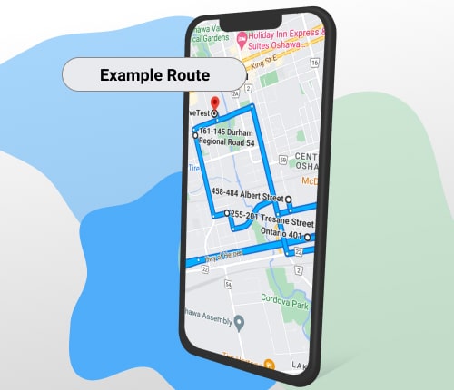
The package includes both a printed map and a digital GPS map. Use your phone's GPS or car's GPS to navigate so you can practice your actual driving test whenever you like.
Mastering the Riverhead DMV Road Test
Prepare for success on your driving exam with our comprehensive Riverhead DMV Road Test Route guide. This essential package includes:
1. Detailed Riverhead DMV Road Test Route printed map
2. Google GPS directions for the Riverhead Department of Motor Vehicles Driving Test Route
Familiarizing yourself with the Riverhead DMV Road Test Route is crucial for exam success. Our guide provides the most commonly used routes, though minor variations may occur. While driving schools offer paid route tours, our affordable package gives you the same valuable information at a fraction of the cost.
Do not leave your success to chance. Download our Riverhead DMV Road Test Route guide today and gain the confidence you need to pass your driving exam with flying colours!
Drive Test Route
Pass Your Driving Test With Confidence!
Up-to-date Driving Test Route maps.
Navigate route on your mobile phone using GPS and practice the route to familiarize yourself with the actual roads of the driving test.